
Mont Ventoux from the Côtes du Rhône
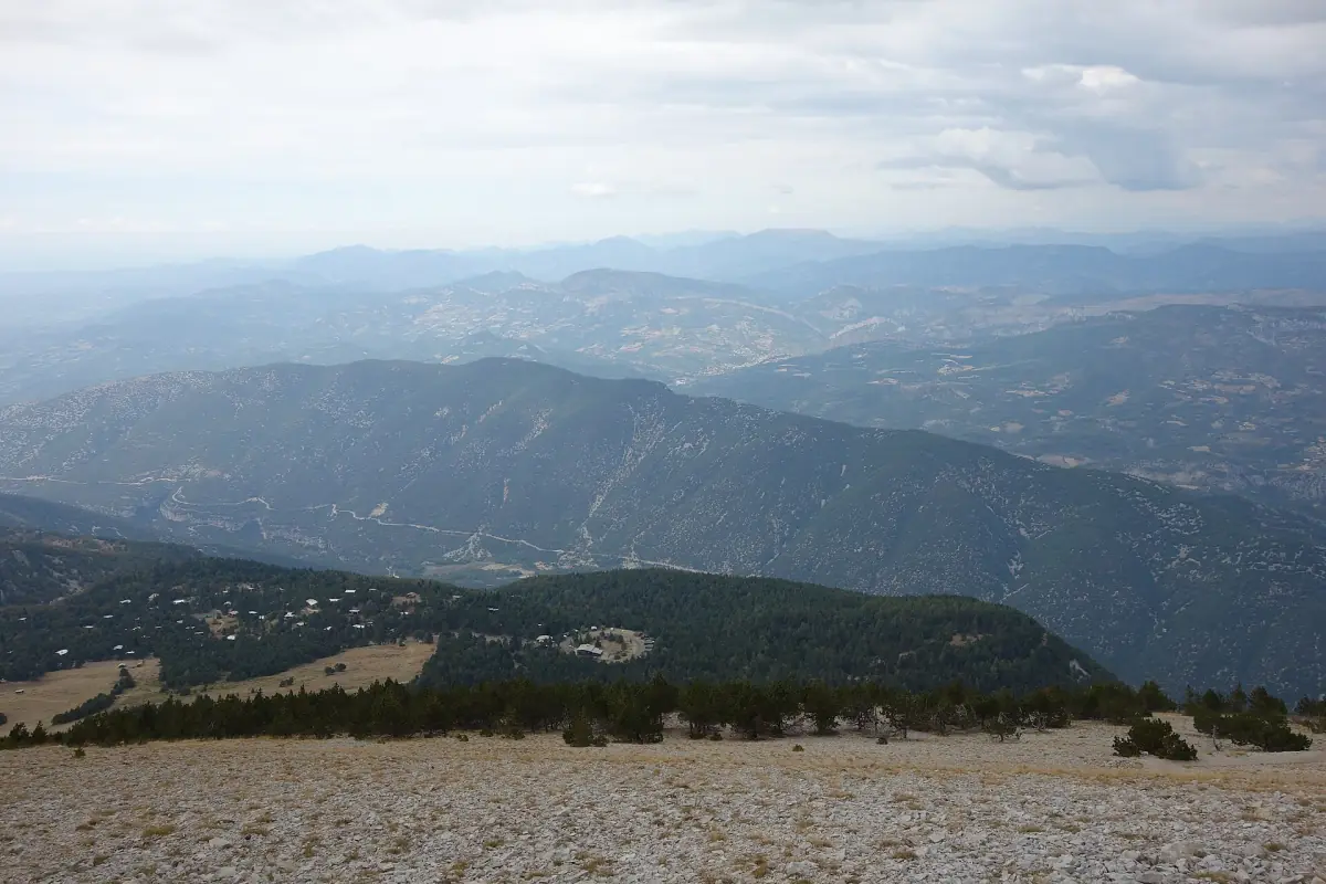
Mont Ventoux is 1,910 m high and stands above the wine country of the southern Rhône. It is not a year-round pass. The summit road is usually closed from mid-November until spring, to cars, motorbikes and bicycles alike. If you plan a drive or a ride, the season decides everything.
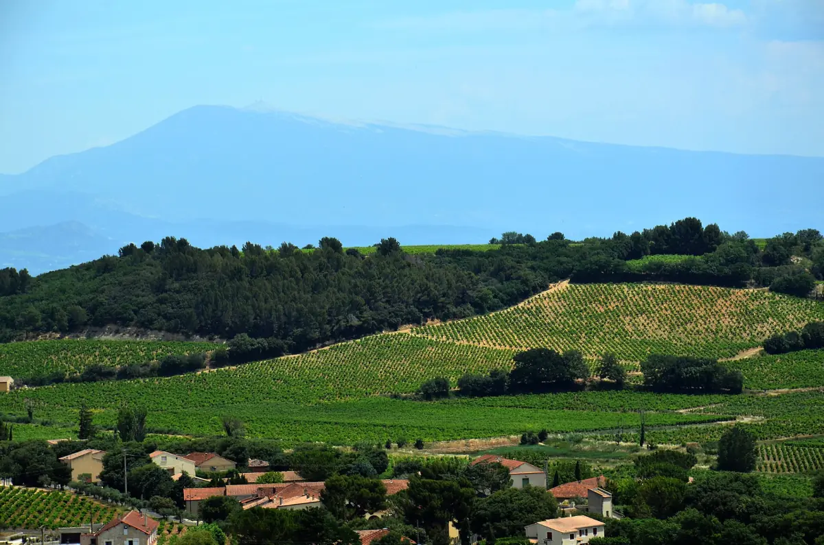
A point of wine geography: the mountain belongs to the neighbouring Ventoux appellation, not to the Côtes du Rhône. The Ventoux, Luberon and Duché d'Uzès appellations are counted outside the Côtes du Rhône group. If you want to taste both sides, our Côtes du Rhône wine tours from Avignon are a convenient way to combine a mountain day with a wine day.
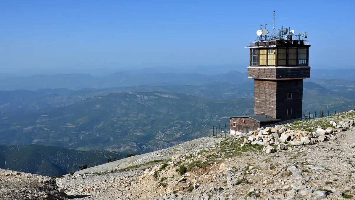
The three road approaches
Road distances for the three approaches.
| Start | Road | Distance |
|---|---|---|
| Malaucène | D974 | 21 km |
| Bédoin | D974 | 21.8 km |
| Sault | D164, then the summit road | 25.6 km |
The road distances say nothing about how hard the climb is or how long it takes. Snow, wind and event closures have to be checked separately before you set out. On race days the summit road can have special traffic times.
Wine-country tours and day trips near Avignon
Tastings, village visits and guided days in the Côtes du Rhône and around Mont Ventoux, with live prices and availability.
Seasonal access: what closes and when
Why the date of your visit matters.
The winter closure
The summit road is usually closed from mid-November to spring. The closure applies to cars, motorbikes and bicycles. From the south the winter access ends at Chalet Reynard. From the north it ends at the Mont Serein station. Do not plan on a particular day: check the road status before you drive or ride.
Walking in winter
A summit climb on foot from Mont Serein takes about 1.5 to 2 hours. It is possible only in suitable weather and with enough fitness. It is not a guaranteed fair-weather walk, and it is not a safe family outing.
Fire rules in summer
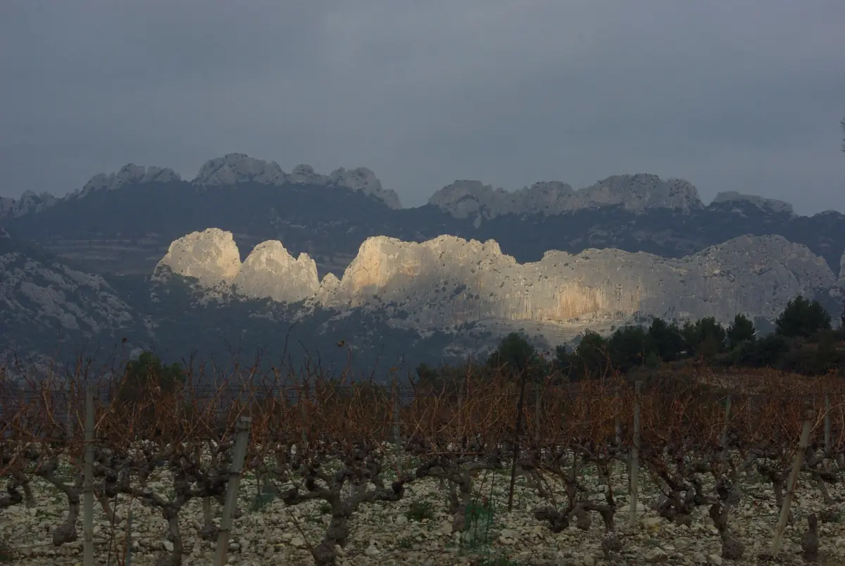
From 15 June to 15 September the prefecture of Vaucluse can limit or ban access to forest areas because of fire risk. Check the daily prefecture map before a hike. The Dentelles de Montmirail page explains how the system works.
Cycling and hiking on Mont Ventoux
For cyclists the three approaches are the road routes up, and the figures in the table above are the starting point. The same rule applies to riders as to drivers: the winter closure covers bicycles, and there is no way around it in the cold months. Plan the ride for the open season.
For walkers in winter, the climb from Mont Serein described above is the route to know. In the open season check your route, the weather and the fire rules before you leave. Gradients and climbing times depend on your fitness and the conditions on the day, so ask locally before you commit.
Wind, weather and the neighbouring towns
The mistral, a cold dry north wind, shapes the whole Rhône region. Sunshine in the valley does not mean calm air on the mountain, so do not read the conditions at the summit from the weather in the villages. The weather page gives the climate of Avignon by month, which helps for the valley but not for the summit.
A Ventoux day combines well with a visit to Vaison-la-Romaine, where the Roman sites cost €9 for adults on a 24-hour pass in 2026, or with the wine villages below the Dentelles de Montmirail. Séguret, one of them, can be visited freely all year, though that says nothing about its church interiors or the hiking trails during a fire warning.
The Ventoux appellation next to the Côtes du Rhône
The AOC Ventoux is a neighbour of the Côtes du Rhône. It is an appellation of its own, separate from the Côtes du Rhône group. When you see Ventoux on a label, it is a different appellation from Côtes du Rhône, Côtes du Rhône Villages or the crus such as Gigondas. The page Côtes du Rhône wine explained shows how the pieces fit together.
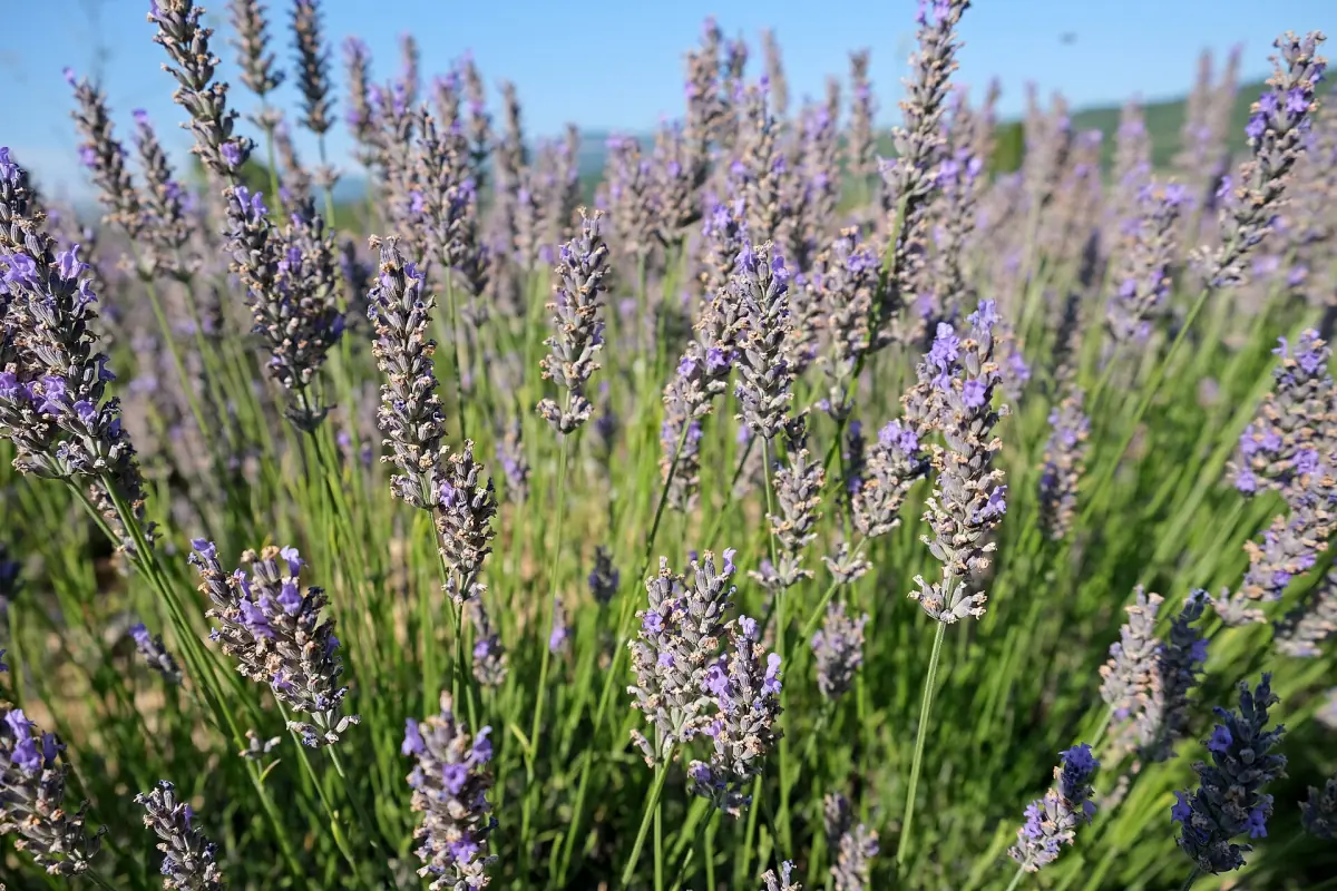
Sault, one of the three approaches, gives its name to a lavender plateau. If you travel in summer, read the lavender fields guide and note that bloom depends on the year and the weather.
Pages to combine with Mont Ventoux
The mountain fits into a longer stay.
Mont Ventoux: frequently asked questions
How high is Mont Ventoux?
Mont Ventoux is 1,910 m high.
When is the summit road closed?
The summit access is usually closed from mid-November to spring for cars, motorbikes and bicycles. Check the road status before you go.
Which roads lead to the summit?
There are three approaches: from Malaucène on the D974 (21 km), from Bédoin on the D974 (21.8 km) and from Sault on the D164 (25.6 km), which joins the summit road.
Can I walk up in winter?
A summit climb from the Mont Serein station takes about 1.5 to 2 hours, but only in suitable weather and with enough fitness. Do not treat it as a safe fair-weather outing.
Is Mont Ventoux part of the Côtes du Rhône?
No. The mountain belongs to the neighbouring Ventoux appellation. It is counted outside the Côtes du Rhône group.